Eastern temples, quiet forest approaches and the Kamo River in one full-day ride. This route starts and finishes at our Central Kyoto store.
Open the route map
Use the map for the full route, riverside sections and parking points. Riding time does not include temple visits, meals or busy-season delays.
Open Google My Maps SCAN FOR THE MAP
Route highlights

Nanzen-ji
Temple grounds, Sanmon gate and the famous brick Suirokaku aqueduct.
Official website ↗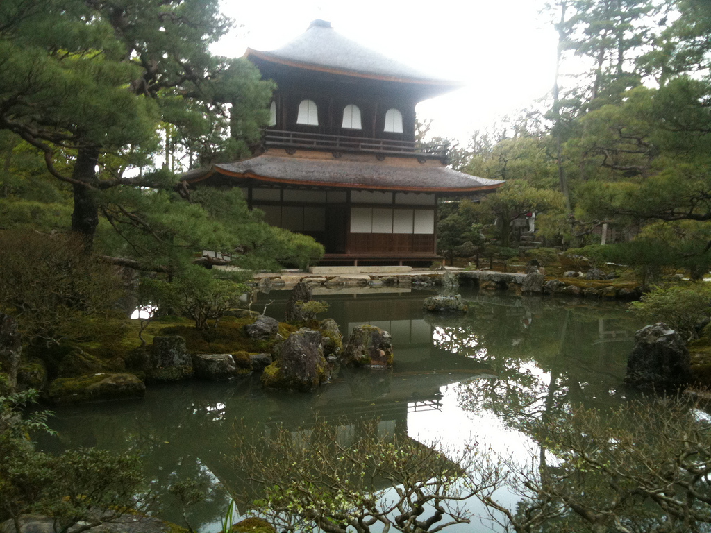
Ginkaku-ji
The Silver Pavilion, Zen garden and one of the best-known stops in northern Higashiyama.
Official website ↗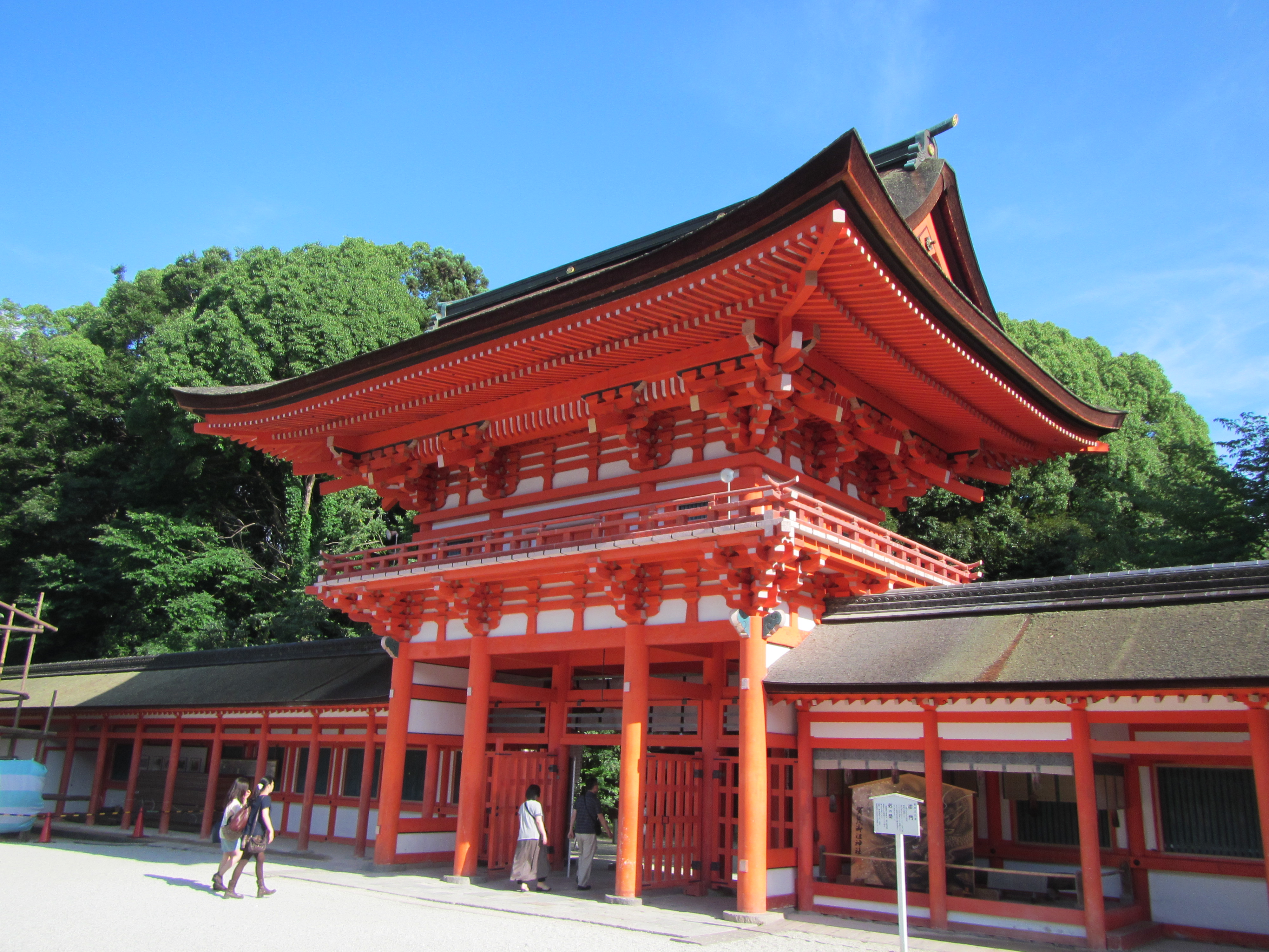
Shimogamo Shrine
A World Heritage shrine surrounded by the historic Tadasu no Mori forest.
Official website ↗Route order
- NoriNori Kyoto — start at the Central Kyoto store
- Nanzen-ji — temple grounds and aqueduct
- Honen-in — quiet forest temple
- Ginkaku-ji — Silver Pavilion
- Shimogamo Shrine — Tadasu no Mori
- Demachi Bridge — enter the Kamo River section
- Kamo River riverside path — ride south where conditions allow
- Marutamachi Bridge — leave the riverside
- Nijo Castle — final major sightseeing stop
- NoriNori Kyoto — finish
Timing & riding tips
- For a relaxed full day, start around 9:00–9:30 AM.
- An E-Bike is recommended if you want more time for sightseeing; a City Bike is suitable for confident riders.
- Allow extra time in autumn foliage, cherry blossom season and on weekends.
- Use designated bicycle parking. Walk the bicycle in crowded pedestrian areas and temple grounds where riding is not permitted.
- Never leave a bicycle on the street, at an apartment entrance or at a hotel where you are not staying.
Where can I park? See the visual parking guide
Real-location photos: Nanzen-ji — 663highland / Wikimedia Commons / CC BY-SA 4.0; Ginkaku-ji — Ph0kin / Wikimedia Commons / CC BY-SA 3.0; Shimogamo Shrine — Nekosuki / Wikimedia Commons / CC BY-SA 4.0.
Plan your ride
Book a bicycle · Compare bikes & prices · See all Kyoto cycling routes